Otuataua Stonefields:
The History Trail
page 2
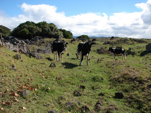
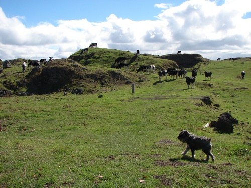
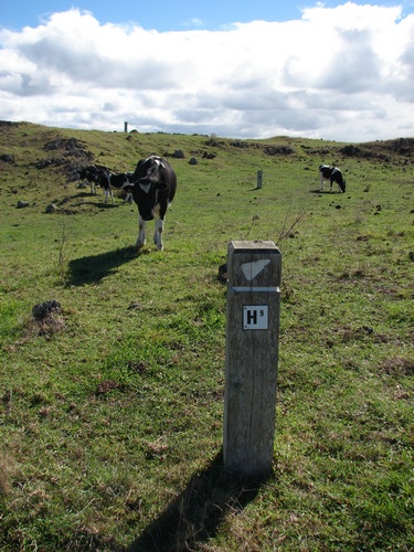
Ah. We have cows to contend with. Sheep, according to archaeologists, would do far less damage to site features. Unhappily, sheep have proven consistently to be vulnerable to roamiong dogs. There is some pressure to remove the cows but they are reluctantly tolerated as a lesser evil than rampant kikuyu grass.
Alice is looking decidely uneasy, especially when one of them eyeballs her from very close quarters:
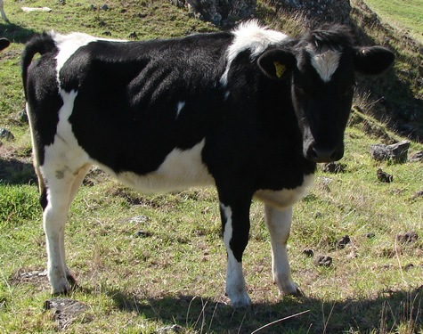
It may be just the angle of the sun, but I'd say that an animal showing that much rib through its skin is not getting a lot of feed off the prevailing kikuyu grass.
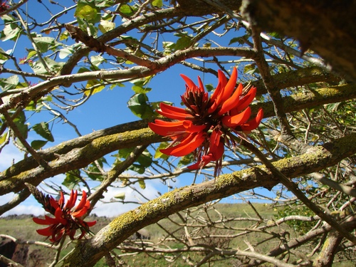
Along the fenceline are a bunch of flame trees, a curse and a weed farther north but still welcome here for the most part.
All of this is a distraction, however, as H6 is off to the side, and I head over in that direction. Alice is momentarily distracted and we are separated, with half a dozen cattle between us. I keep my voice calm and eventually the obedience training pays off. She locates a slightly wider gap between two of the cows and heads through it at speed, followed, of course, by several cows.
She should know this, as the one sure way to make Alice chase you is to run. Case of the biter bit this time. She stays close until we are well clear of the cattle.
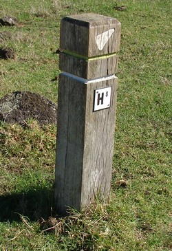
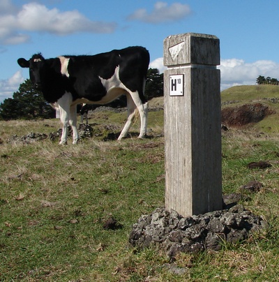
H6 is just ahead
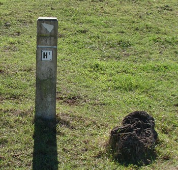
H7
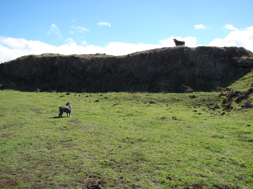
One large beast stares down at us from the top of a scoria bank.
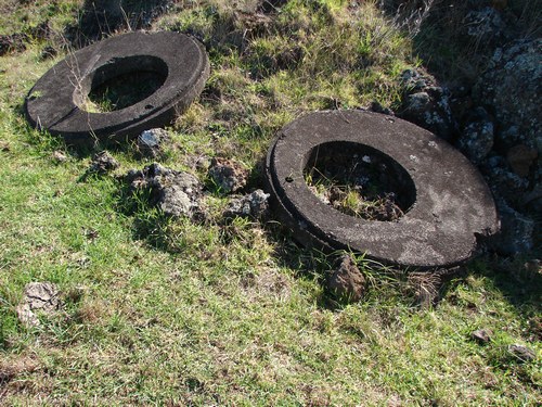
and just along here are three concrete somethings — lids? which almost certainly refer to pakeha occupation of some kind, but just what I cannot guess. They are about a metre across. Part of the top of concrete water tanks?
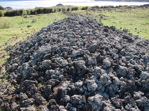
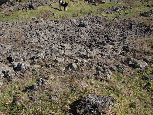
I wonder whether the original ground surface was something like this, and picture the sweat that went into even the small areas of cleared ground that do exist.
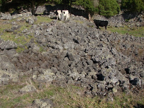
We carry on, picking our way through the stones and the cow patties
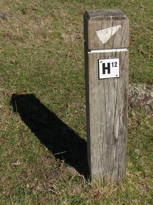
to where H9 sends us off at right angles to the top of a rise to the right. Those are not H10 and H11 ahead of us but H11 and H12.
At the top of this rise is a rectangular low stone wall about 10m x 8m enclosing a flat surface which Manukau CC notes refer as a Maori whare/house, with no further detail. When I book on a guided walk around the stonefields in July, I learn that this structure has been dated to approximately 1600 CE. Just down hill from the building a little is one of the largest middens on the site. I make a couple of assumptions: (i) that the occupants of the site would have been of some importance — the site is in a commanding position with 360 views; and (ii) that the size of the midden indicates a social gathering place of some importance. It's a bit difficult to get it into a photo without a wide angle lens, so that will have to wait a little.
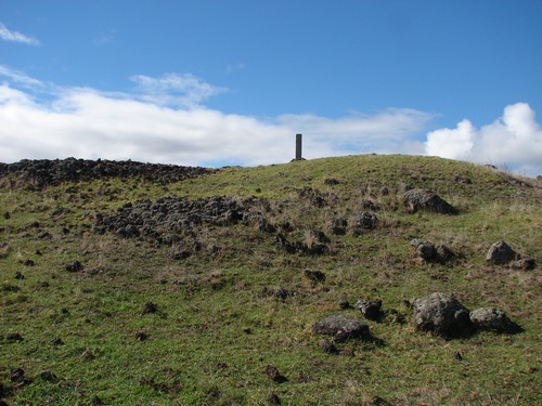
Stone-walled dwellings were not common at all among Maori, and the general layout, not just of this dwelling but of the walled gardens all around suggest the area probably enjoyed a relatively peaceful existence on the whole. The reconstructed remains of the Otuataua cone still show the remnants of some of the original defensive earthworks, but not much remains of the original pa site. When Manukau City ceased using the Otuataua site as a scoria source, they put in some considerable effort reconstructing the cone, probably about 10-20m lower than the original, to give some impression of what had been there, and with an eye to concerts of one kind or another, included a "natural" stage in the crater "amphitheatre".
The few attempts to hold concerts here, however, have all foundered for one reason or another, and the first has yet to happen. See Otuataua Volcano for more detail.
A cow breaks off for a moment or two her attempts to derive nourishment from the kikuyu. Alice moves behind me.
We return to the valley where H11 awaits. I don't know but I suspect these walls might be of Maori origin. There's obviously been quite a bit of stone clearing around here. When I ask the ranger guide, he agrees. he also draws our attention to a major difference between the two kinds of wall: the pakeha walls are straight as a Roman road; the Maori walls are more geared to local contours and "natural" boundaries.
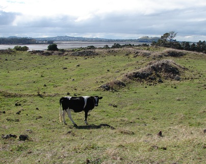
The Manukau CC notes say simply, "gardens" as we move along the valley to H12
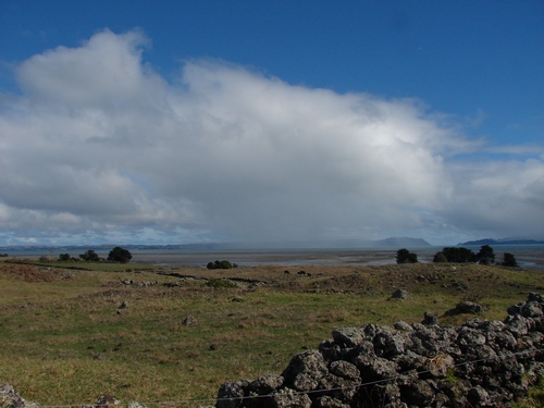
and then it's a hike of a couple of hundred yards to the end of the valley and H13. Over to the left beneath a stunning blue sky, part of the Awhitu peninsula is obscured by a passing shower.
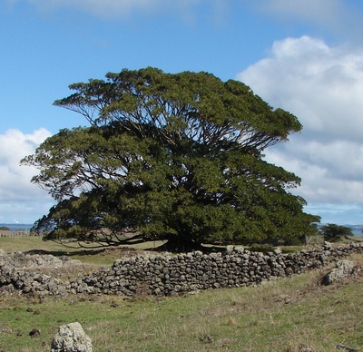
Closer to hand on the left are some grand old trees which the notes refer to as Jackson Bay Figs (similar to Moreton Bay fig but smaller and buttress roots not as large) They are one species, admittedly Australian, which seems to thrive here. Over beyond these are a series of openings to lava tunnels, which I get a look at on the guided walk but are not otherwise well-publicised.
Even the super tough flame trees find the going a little hard. I'm not sure whether this wall is of pakeha or Maori origin. It's design features suggest Maori, but not many of the Maori structures are as long as this one. Our guide confirms a likely Maori origin, the basic design feature being a double row of larger rocks between which the smaller rocks were piled to create space for gardens.
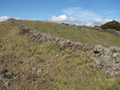
It's certainly wide enough in places.